Category
Entertainment Books Subscripti
Store
Ordnance Survey
Brand
Ordnance Survey
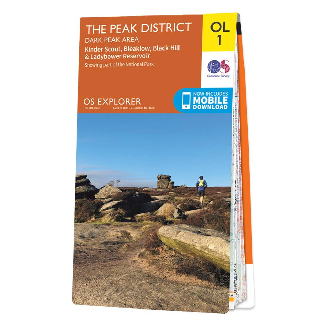
The OS Explorer map of The Peak District: Dark Peak, is a must-have when visiting the Dark Peak Area of the Peak District. Famous for its vast exposed moorlands, waves of plateauing gritstone, feather bed bogs covered in cotton grass, and heather moors, the Peak District has walk and hikes in abundance. Below the moorland are oak-birch woods and steep valleys covered in interlocking blocks of coniferous plantation - a picturesque place of tranquillity. Highlights of this walking map include: Kinder Scout, Bleaklow, Black Hill, and Ladybower Reservoir.Our OS Explorer maps are perfect for day-tripping, longer hikes and cycling. They come in both standard and Weatherproof Active, so you'll never get caught out in a storm. Standard Publication Date: 24/06/2019 Weatherproof Publication Date: 10/06/2019
12.99 GBP
Product name
Store
Price
AbeBooks.co.uk
10.56 GBP
AbeBooks.co.uk
11.25 GBP
Recommendations
Choose your language and region
Klarna is available around the world with a variable offering, choose one that suits you best.
Copyright © 2005-2024 Klarna Bank AB (publ). Headquarters: Stockholm, Sweden. All rights reserved. Klarna Bank AB (publ). Sveavägen 46, 111 34 Stockholm. Organization number: 556737-0431