Kategória
Entertainment Books Subscripti
Predajňa
Ordnance Survey
Značka
Ordnance Survey
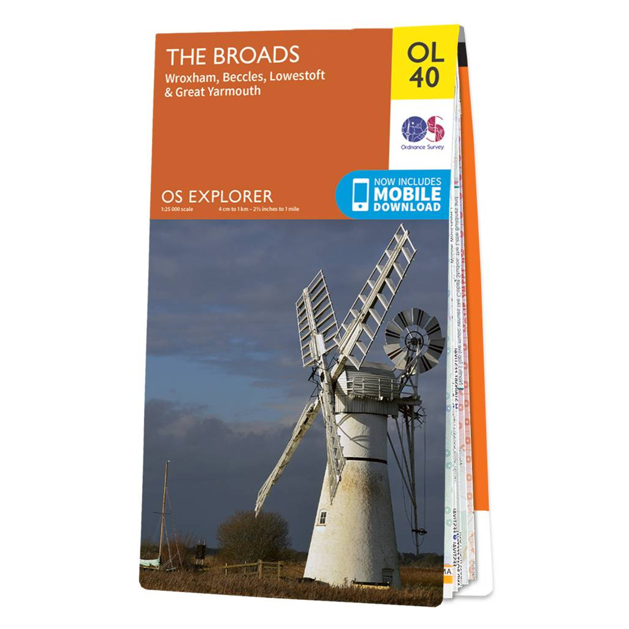
The OS Explorer map of the Broads; a member of the national park family, it features the rivers: Burne, Ant, Thurne, Yare, Chet, and Waveney.The map also includes the Norfolk and Suffolk coasts, as well as the seaside towns of Great Yarmouthrenowned for its long sandy beaches, and Lowestoft the most easterly town and first place to see sunrise in the UK.Our Explorer maps come in both standard and weather proof, so you'll never get caught out in a storm. This map also comes with a free digital download, so you can access it across your devices, making for a convenient companion. Standard Publication Date: 08/01/2024 Weatherproof Publication Date: 06/08/2018
12.99 GBP
≈ 14.93 EUR
Názov produktu
Predajňa
Cena
ENbook.sk
13.8 EUR
Odporúčania
Choose your language and region
Klarna is available around the world with a variable offering, choose one that suits you best.
Copyright © 2005-2024 Klarna Bank AB (publ). Headquarters: Stockholm, Sweden. All rights reserved. Klarna Bank AB (publ). Sveavägen 46, 111 34 Stockholm. Organization number: 556737-0431