Kategori
Resor & platser
Butik
Bookhero
Varumärke
Octopus publishing group
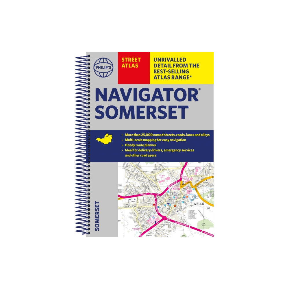
The only county atlas with all the named streets of Somerset - more than 24,000 named streets, roads, lanes and alleys - ideal for finding the best and most effective route anywhere in the area.Includes all the streets in BATH, BRIDGWATER, FROME, TAUNTON, WESTON-SUPER-MARE, YEOVIL, Bruton, Burnham-on-Sea, Castle Cary, Chard, Crewkerne, Clevedon, Cheddar, Glastonbury, Ilminster, Keynsham, Minehead, Midsomer Norton, Nailsea, Portishead, Sherborne, Shepton Mallet, Street, Somerton, Wincanton, Watchet, Wedmore, Wells, Wellington, Yatton.With Super-clear mapping, it is routinely used by the emergency services and professional drivers The Route planner section shows all the A and B roads and can be used to get close to the destination before turning to the relevant large-scale street map. Packed with useful information including car parks, railway and bus stations, post offices, schools, colleges, universities, hospitals, police and fire stations, places of worship, leisure centres, footpath
249 SEK
Produktnamn
Butik
Pris
Buyersclub
249 SEK
Rekommendationer
Choose your language and region
Klarna is available around the world with a variable offering, choose one that suits you best.
Copyright © 2005-2024 Klarna Bank AB (publ). Headquarters: Stockholm, Sweden. All rights reserved. Klarna Bank AB (publ). Sveavägen 46, 111 34 Stockholm. Organization number: 556737-0431