Kategori
Geografi & kartor
Butik
Bookhero
Varumärke
Harpercollins publishers
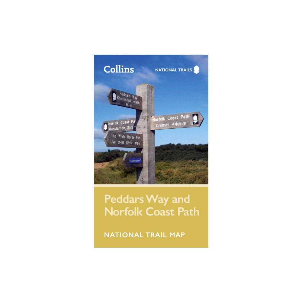
Perfect guide and map for planning your adventure along Peddar’s Way and the Norfolk Coast Path. This incorporates part of the newly formed England Coast Path.Highlights of this Planning Map include:More than 20 highlighted places of interest with detailed descriptions and attractive photographs, including: the Hunstanton striped cliffs, Blakeney Point, and Binham PrioryA comprehensive index to more than 600 cities, towns and villagesA clear, visible route plotted across a 2.4 miles to 1 inch (1.5 km to 1 cm) scale mapAdvice on safety and security when travelling along the route, as well as the countryside code and the code of conductPart of the National Trail network, these two long-distance footpaths cover 93 miles (150 km) across West Norfolk and along its northern coast. Following the course of a Roman road through forest, open farmland and river valleys, Peddar’s Way contrasts with the small harbours, low cliffs and sand found along the Norfolk Coast Path. The combined routes offe
89 SEK
Rekommendationer
Choose your language and region
Klarna is available around the world with a variable offering, choose one that suits you best.
Copyright © 2005-2024 Klarna Bank AB (publ). Headquarters: Stockholm, Sweden. All rights reserved. Klarna Bank AB (publ). Sveavägen 46, 111 34 Stockholm. Organization number: 556737-0431