Kategori
Entertainment Books Subscripti
Butik
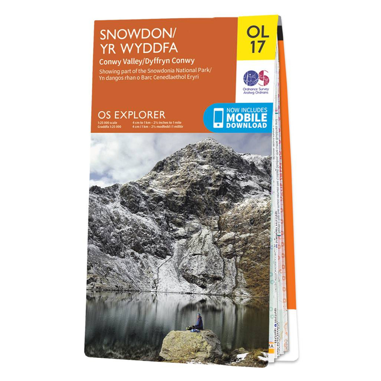
Ordnance Survey
Varumärke
Ordnance Survey
Explore Yr Wyddfa (Snowdon) with ease and marvel at the beautiful sceneries of Northern Snowdonia and the Conwyn Valley (Dyffryn Conwy). Our OS explorer range is in 1:25 000 scale, meaning 4cm is 1km (2½ inches is 1 mile). This map covers Northern Snowdonia in both English & Welsh. It contains key information so you can immerse yourself among the beautiful valleys and discover the majestic mountainside. It has six routes to the summit, providing lots of options to explore the largest mountain in Wales. Away from the peaks, you will also find part of the North Wales Path and the Wales Coast Path long distance walking routes on this map. All our Explorer maps come with a free mobile download, making for a convenient companion. Format: Folded map Physical Size: 1000 x 890 mm (134 x 227 mm folded) Standard Publication Date: 11/04/2024 Weatherproof Publication Date: 18/03/2024
12.99 GBP
≈ 173.54 SEK
Produktnamn
Butik
Pris
Bookhero
199 SEK
Rekommendationer
Choose your language and region
Klarna is available around the world with a variable offering, choose one that suits you best.
Copyright © 2005-2024 Klarna Bank AB (publ). Headquarters: Stockholm, Sweden. All rights reserved. Klarna Bank AB (publ). Sveavägen 46, 111 34 Stockholm. Organization number: 556737-0431