Category
Entertainment Books Subscripti
Store
Ordnance Survey
Brand
Ordnance Survey
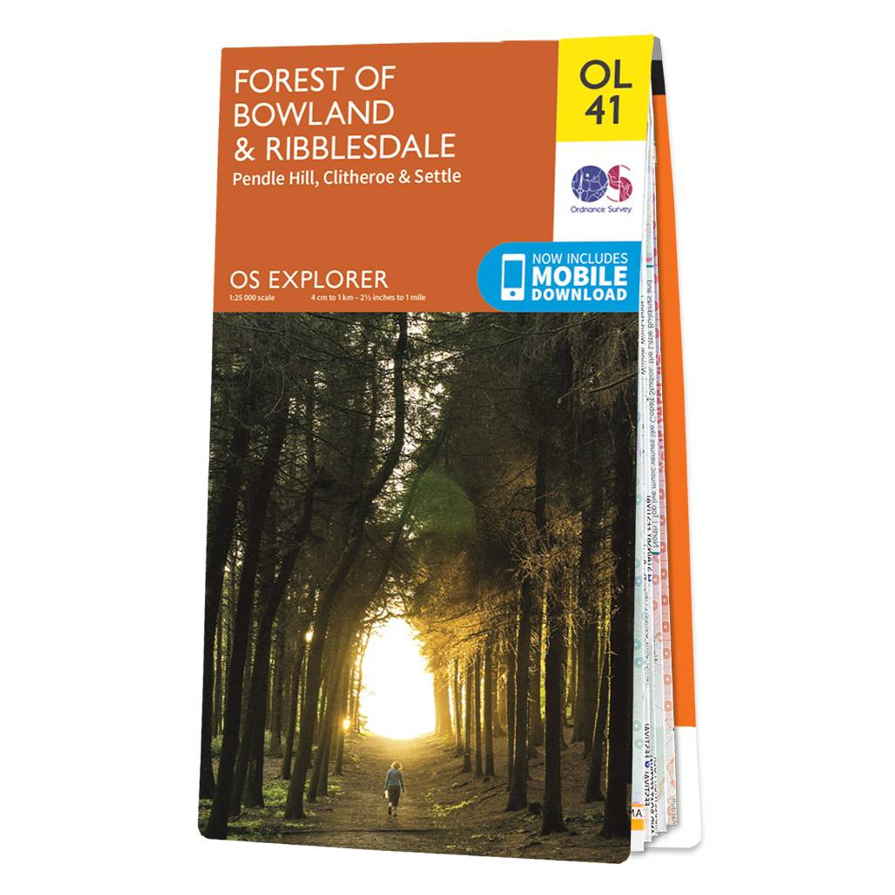
Explorer OL41 of displays the Forest of Bowland and Yorkshire Dales National Park near Clitheroe.It's a must-have when planning in depth explorations of the forest, with many recreational paths mapped including Dales High Way, Lancashire Coastal Way, Pennine Bridleway, and more. Highlights of this map include Ribble way, Were Way, Lune Valley Ramble and Pendle Wy, along with the towns of Clotheroe, Settle, and Lancaster.Our explorer range comes in both weatherproof and standard options, meaning you'll never get caught out in a storm. Receive a free download of this map, making for a convenient companion. Standard Publication Date: 18/05/2018 Weatherproof Publication Date: 12/07/2018
12.99 GBP
≈ 14.93 EUR
Recommendations
Choose your language and region
Klarna is available around the world with a variable offering, choose one that suits you best.
Copyright © 2005-2024 Klarna Bank AB (publ). Headquarters: Stockholm, Sweden. All rights reserved. Klarna Bank AB (publ). Sveavägen 46, 111 34 Stockholm. Organization number: 556737-0431