Category
Entertainment Books Subscripti
Store
Ordnance Survey
Brand
Ordnance Survey
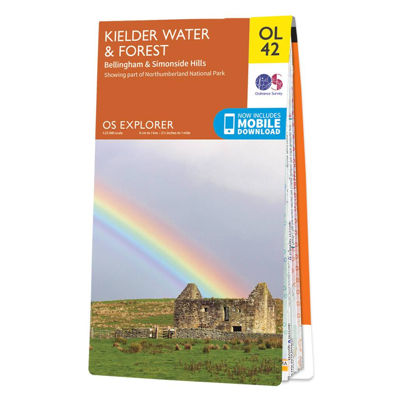
The OS Explorer map of Kielder Water & Forest, including Bellingham and Simonside Hills. This map is a must-have when visiting the area, it covers an area of Northumberland National Park, stretching from Kielder Forest in the West to Netherwitton in the east, and takes in the town of Bellingham. Other features of this map include Bloody Bush & Larriston Fells Walk around Kielder water, The Pennine way National Trail, and St Oswald's Way.Our Explorer maps are perfect for day-tripping, extensive hikes, and cycling. They come in both standard and Weatherproof Activeso you'll never get caught out in a storm. This map also comes with a free digital download, so you can access it across your devices, making for a convenient companion. Standard Publication Date: 10/06/2015 Weatherproof Publication Date: 10/06/2015
12.99 GBP
≈ 14.93 EUR
Recommendations
Choose your language and region
Klarna is available around the world with a variable offering, choose one that suits you best.
Copyright © 2005-2024 Klarna Bank AB (publ). Headquarters: Stockholm, Sweden. All rights reserved. Klarna Bank AB (publ). Sveavägen 46, 111 34 Stockholm. Organization number: 556737-0431