Kategória
Entertainment Books Subscripti
Áruház
Ordnance Survey
Márka
Ordnance Survey
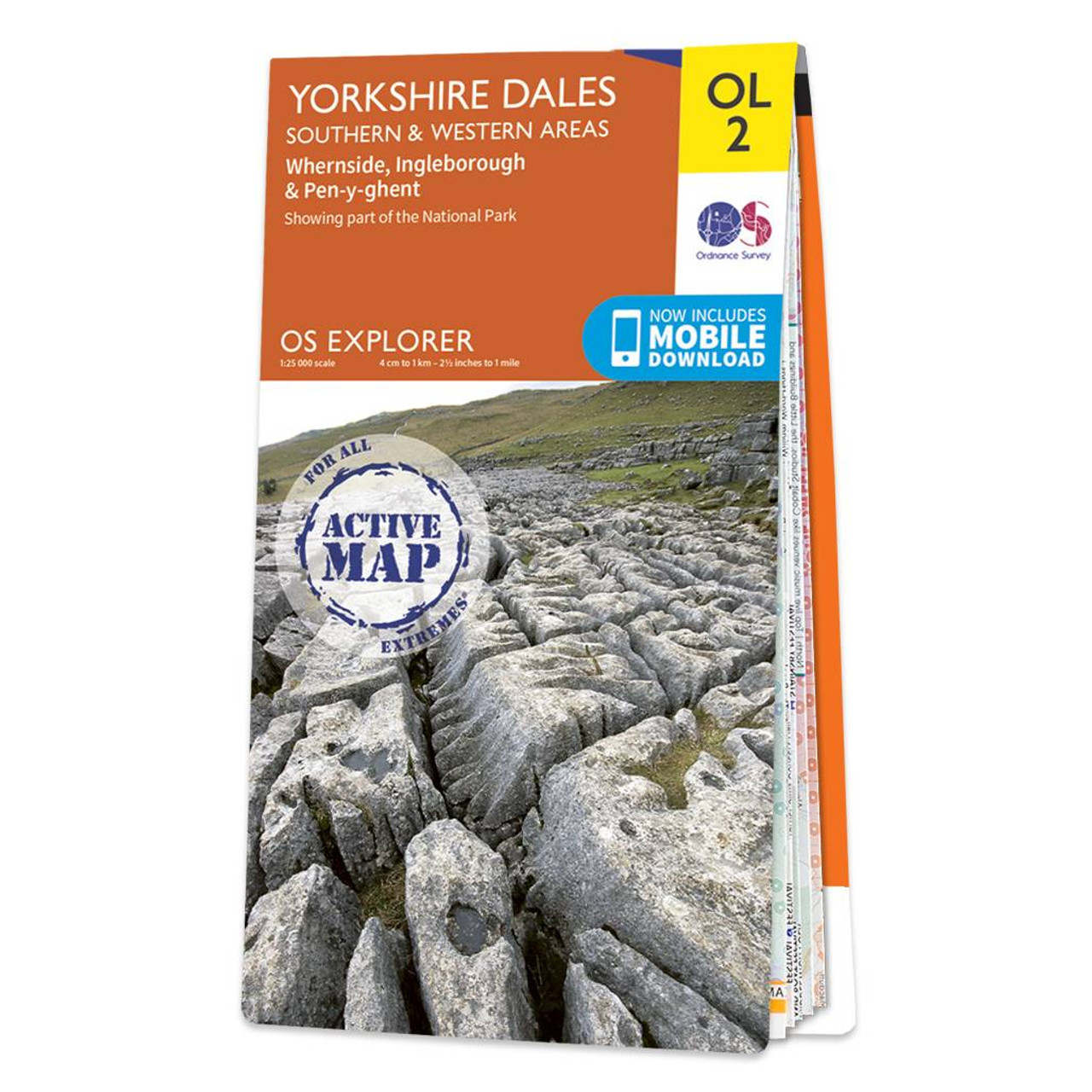
The OS Explorer map of Yorkshire Dales, Southern & Western area includes Whernside, Ingleborough, & Pen-y-ghent is the perfect walking map or long-distance trail map. With Explorer OL2 you can take on the Yorkshire Three Peaks circular route. The total walking distance is 24.5 miles (39.2km), starting at Horton-in-Ribblesdales, Ribblehead or Chapel le Dale, with the circular route finishing at the point you begin. Whether you're looking to take on the three peaks or just looking for an easier walk through the South-West of the dales, this walking map is a must-have. Our OS Explorer maps are perfect for day-tripping, extensive hikes, and cycling. They come in both standard and Weatherproof Active, so you'll never get caught out in a storm. Standard Publication Date: 05/09/2016 Weatherproof Publication Date: 05/09/2016
16.99 GBP
≈ 7624.65 HUF
Terméknév
Áruház
Ár
ENbook.hu
6864 HUF
Javaslatok
Choose your language and region
Klarna is available around the world with a variable offering, choose one that suits you best.
Copyright © 2005-2024 Klarna Bank AB (publ). Headquarters: Stockholm, Sweden. All rights reserved. Klarna Bank AB (publ). Sveavägen 46, 111 34 Stockholm. Organization number: 556737-0431