Kategória
Entertainment Books Subscripti
Áruház
Ordnance Survey
Márka
Ordnance Survey
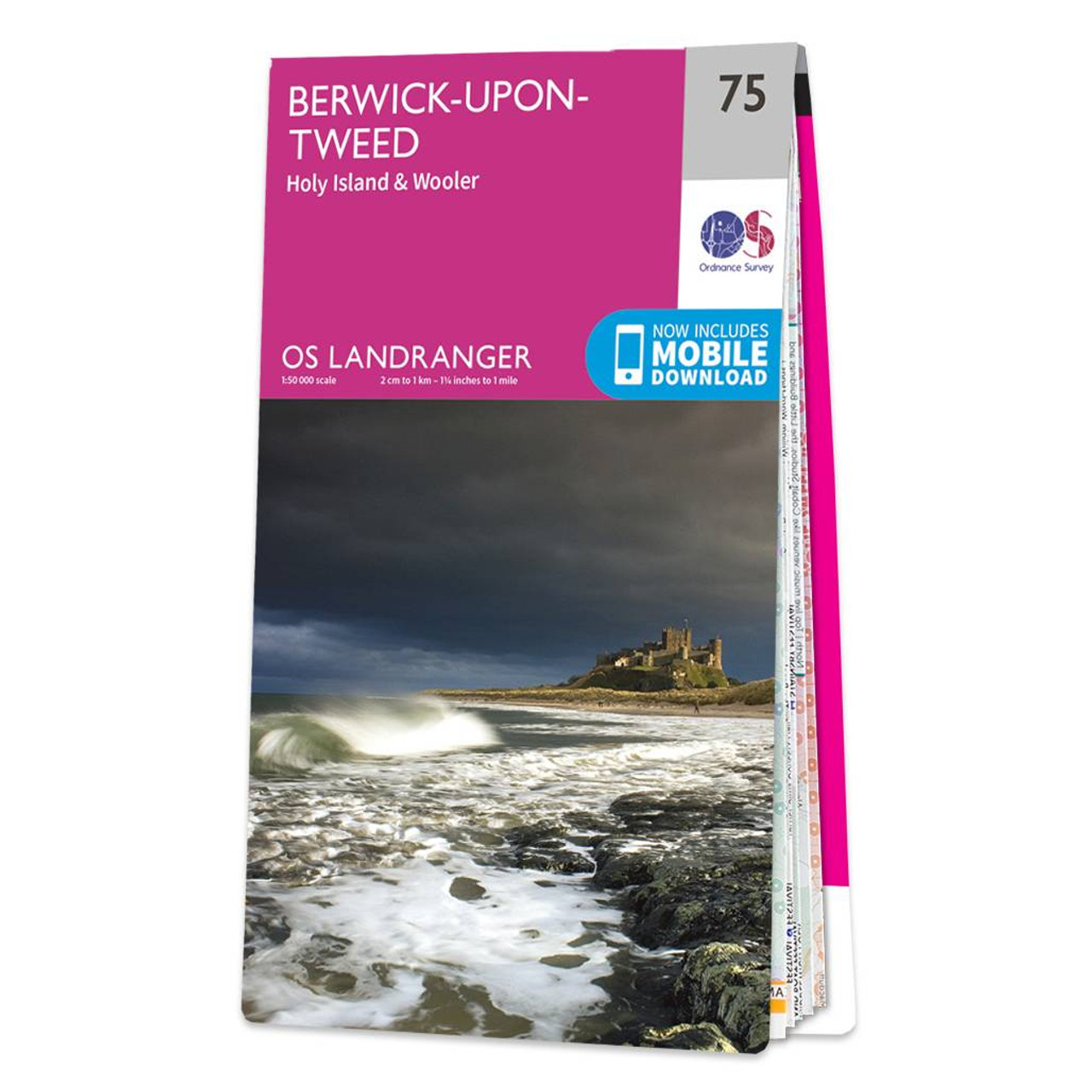
The Landranger map of Berwick-upon-Tweed, including Holy Island and Wooler is a must-have for your next trip to the area.Located close to the Scottish border, Berwick-upon-Tweed is the Northern-most town in England. There is an abundance of attractions and things to do. The vast expanse of surrounding Northumberland Countryside features rolling hills, beaches, historical landmarks, and interesting museums.Holy Island and the Farne Island are situated off the coastline in the North Sea, and the town of Wooler sits inland close to the Northumberland National Park. Our Landranger maps come in standard or Weatherproof Active, you'll also receive a free download for your devicesmaking for a convenient companion. Publication Date: 24/02/2016
12.99 GBP
≈ 5829.56 HUF
Terméknév
Áruház
Ár
ENbook.hu
5232 HUF
Javaslatok
Choose your language and region
Klarna is available around the world with a variable offering, choose one that suits you best.
Copyright © 2005-2024 Klarna Bank AB (publ). Headquarters: Stockholm, Sweden. All rights reserved. Klarna Bank AB (publ). Sveavägen 46, 111 34 Stockholm. Organization number: 556737-0431