Boutique
AbeBooks.fr
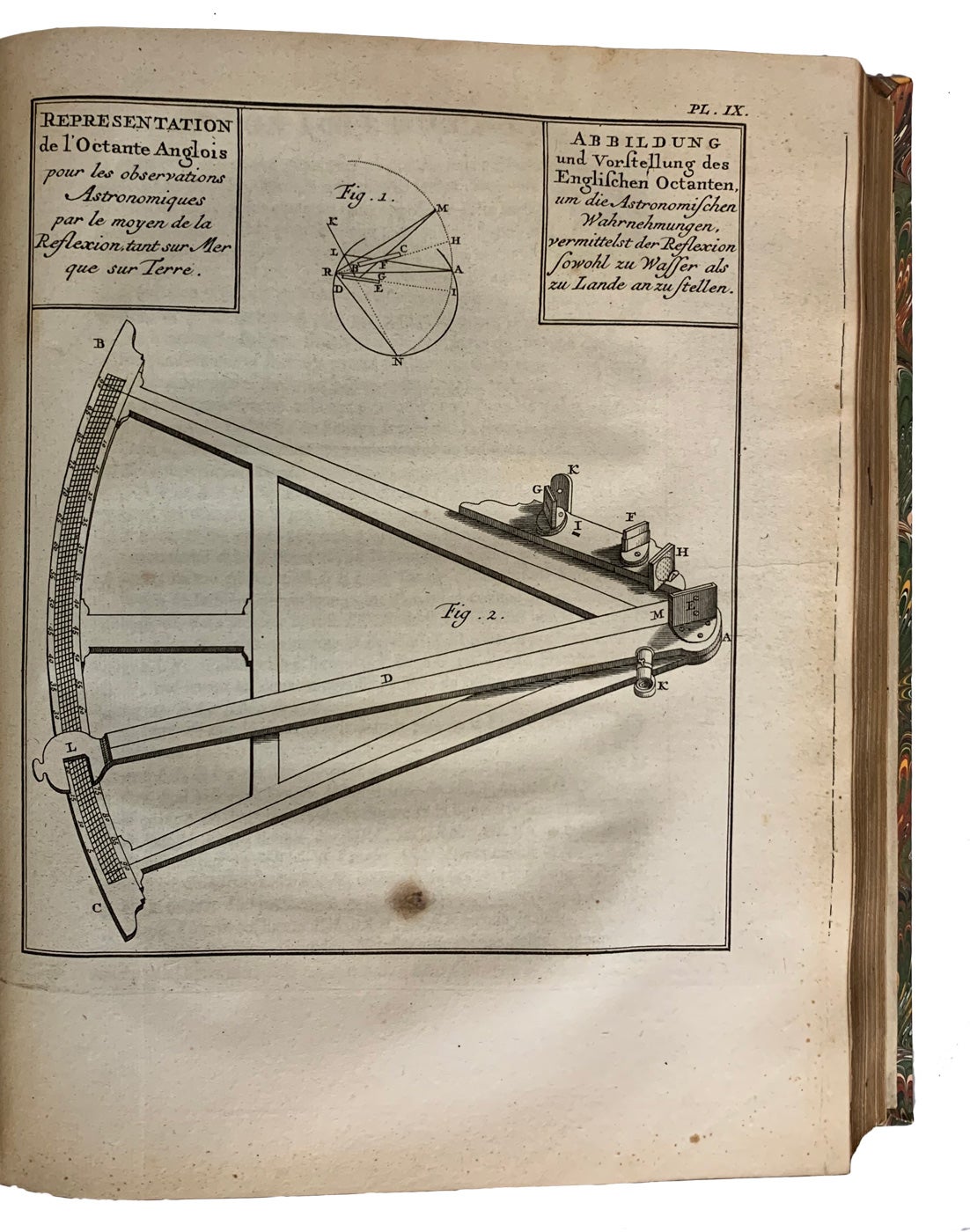
4to, 25.5cm, first French edition, in 2 volumes, [xx],554 & 309,[iii]pp., with 2 engraved frontis plates & 54 mainly folding engraved maps, plans and views (on 53 sheets), attractive illustrated ornamental title page, header & initial vignettes, bound in quarter brown calf, gilt ruled raised bands, gilt roll border decoration and the top and bottom of the panels, crushed dark brown morocco labels, gilt spine titles, marbled boards, all edges gilt, some slight occasional foxing or transfer, a fine attractive set (tr/hm). ~ The record of an important joint French and Spanish scientific expedition to South America undertaken in 1735. The purpose of the expedition was to measure one degree of latitude in the equinoctial regions of Peru in order to determine the exact size and shape of the earth. Spanish scientists and naval officers, Juan and Ulloa (who later became the first Spanish governor of Louisiana), were selected by Philip V to accompany the French academicians La Condamine, Bougue
2559.9 EUR
Recommandations
Choose your language and region
Klarna is available around the world with a variable offering, choose one that suits you best.
Copyright © 2005-2024 Klarna Bank AB (publ). Headquarters: Stockholm, Sweden. All rights reserved. Klarna Bank AB (publ). Sveavägen 46, 111 34 Stockholm. Organization number: 556737-0431